Aerial Photography, Mapping, & Imaging
Call Us: 412-213-8063

Services
Precision. Insight. Reliability.
At ForgePoint Drone Solutions, we provide advanced aerial imaging, mapping, modeling, and inspection services that empower organizations to visualize, measure, and manage their projects with unmatched accuracy.
Using state-of-the-art UAV technology, we capture high-resolution imagery and geospatial data that support smarter planning, improved safety, and data-backed decision-making across construction, infrastructure, and environmental industries.

Aerial Mapping
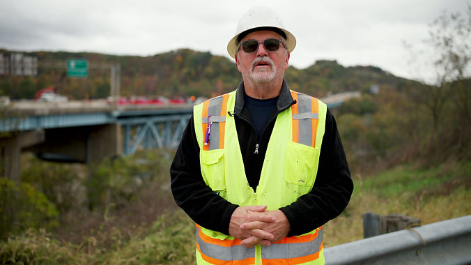
Infrastructure Inspection
Detailed 3D Modeling
Precision Aerial Photography
Job Site Management Support
Data-Driven Decision Making
Engineering Imaging
Featured Project
At ForgePoint Drone Solutions, every project is an opportunity to redefine what’s possible from the sky. Whether capturing large-scale construction progress, detailed mapping data, or cinematic visuals that tell a story, this showcase represents our commitment to delivering clarity from every angle.
